The Coast to Coast Walk
As we approach the end of 2019, thoughts may already be turning towards planning holidays or short breaks for 2020. Given the economic and political climate (no, we’re most certainly not going there!), opting for a staycation is becoming increasingly popular. We know that many BCH Camping customers like to combine a holiday with walking, so we’re highlighting one of the best known walks that the UK has to offer, The Coast to Coast.
The Coast to Coast Walk does exactly what it says on the map! The 190 mile route takes you from St Bees in Cumbria, on the west coast of England, to Robin Hood’s Bay in the east. It can, of course, be done in reverse but the west to east route is recommended because it keeps the wind and rain at your back, and the evening sun out of your eyes.
The route was devised by walker and writer Alfred Wainwright, and publicised in his 1973 book, “A Coast to Coast Walk”. The book has since been revised several times to update the recommended route.
The route is incredibly varied with no two days being the same. It takes you across fells, moorland, fields and mining history, and provides a mixed terrain of rocky mountain paths, limestone plateaus, country lanes, rolling hillsides and farmland.
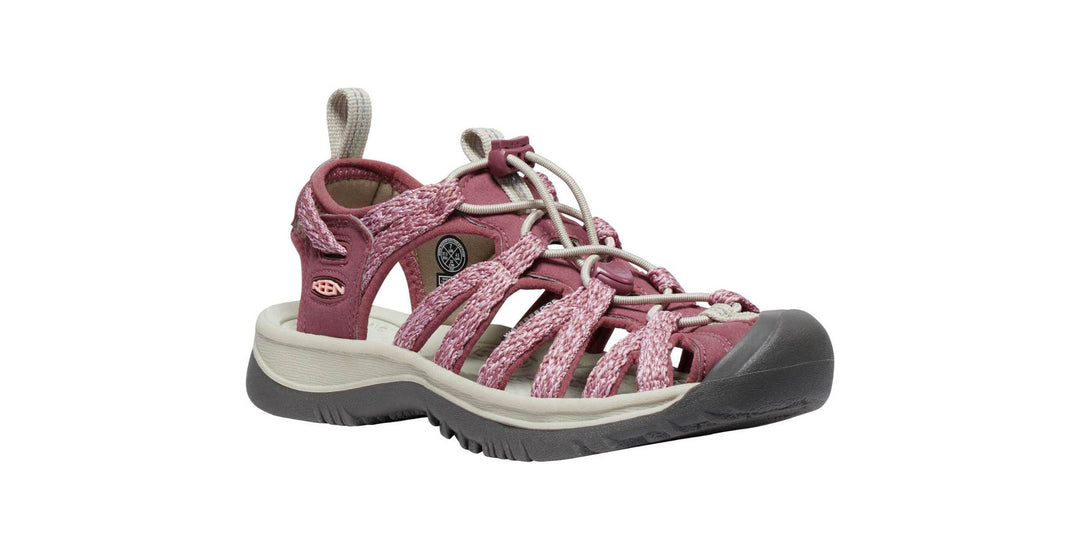
In terms of difficulty, don’t be fooled by its popularity. There are some sections, mainly in the Lake District, that are difficult, becoming particularly arduous in bad weather. To be fully prepared you will need to have a decent level of fitness, wear good walking boots and suitable clothing, and know how to use a map and compass. It would also be best to have cut your teeth on other long distance routes before embarking on the Coast to Coast.
All of that said, it’s a route that is easy going in parts and very rewarding.
Duration: 6 – 18 nights
Trailheads: St Bees, Cumbria
54.492°N 3.612°W
Robin Hood's Bay, North Yorkshire
54.435°N 0.535°W
Maximal slope (base 500 m): 25.41 %
Average slope: 2.28 %
Net ascent: 23 ft
Total ascent: 16913 ft
Total descent: 16890 ft
Highest point: Kidsty Pike, 780 m (2,560 ft)
Lowest point: Sea level
 Due to visibility and weather conditions, the best time to complete the walk is May to October, but that is also the most popular period. Accommodation along the route gets booked up very quickly, so it is advisable to plan your itinerary and book accommodation well in advance.
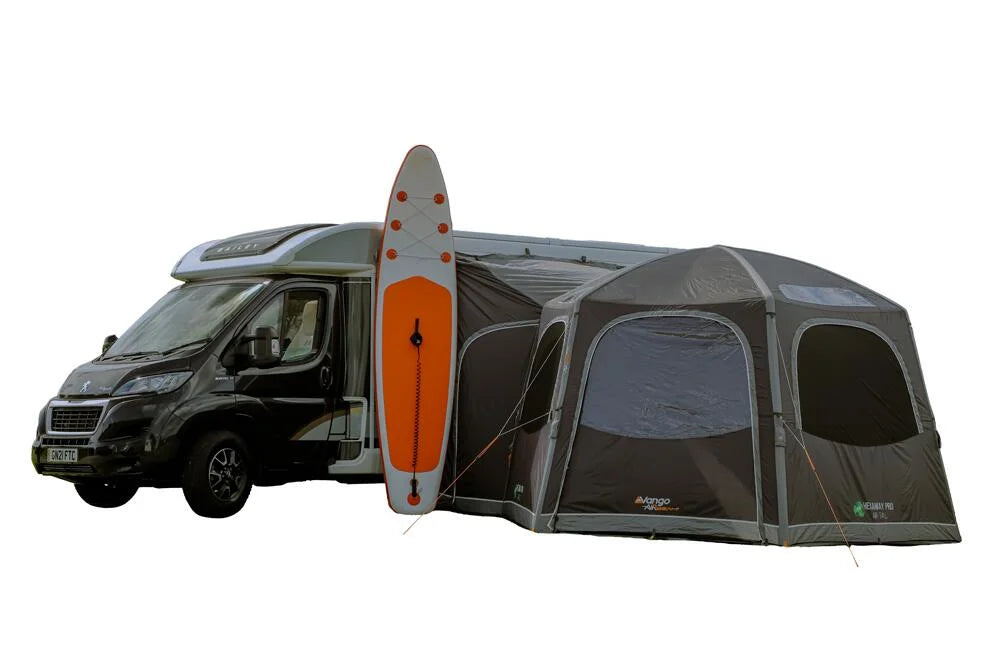
If, however, you decide to take camping equipment, there isn’t as much need to plan well in advance, but you should still research where you will be able to pitch up. If you’re planning on wild camping, take a look at our blog that will tell you all you need to know about wild camping etiquette.
However you plan to take on this famous hike, you’ll be walking through three national parks, so you may want to factor in some rest days. In fact, this is advisable as the route is tiring and challenging in places.
Starting out in St Bees in the Lake District, you make your way through Cleator to Ennerdale Bridge, and on to Ennerdale Water, the western most lake and the most remote. It is the only lake that doesn’t have a road running alongside it.
Moving on to Rosthwaite, which is located 6 miles south of Keswick in the beautiful Borrowdale Valley, you’ll find yourself in an area popular for fishing, rock climbing and water sports.
From Rosthwaite there is a steep climb to the top of Greenup Ledge at 620m, where there are spectacular views back to the sea. You can then either take the ridge walk across Calf Crag, Gibson Knott and Helm Crag before descending steeply into Grasmere, or the easier route down Far Easedale.
Grasmere is a popular option for a rest day. Even though it’s quite early on in the route, it is a walkers’ paradise with a beautiful village, pubs and shops. The route out of Grasmere takes you to Patterdale and Glenridding, two small villages close to each other at the southern end of Ullswater.
The section between Patterdale and the next destination, Burnbanks, near Bampton, includes the highest point of the walk, Kidsty Pike (780m). From here, you can look back across the Lake District and then turn to view the Eden Valley and the Pennine Mountains.
A walk through farmland takes you to the village of Shap, where you leave behind the mountains of the Lake District to proceed across farmland of the Eden Valley. The footpath crosses the limestone plateau, past the secluded hamlet of Oddendale and the granite boulders deposited by ice age glaciers, leading on to Kirkby Stephen. Another contender for a rest day, Kirkby Stephen is a quaint, traditional market town with historic buildings, cobbled yards and independent shops.
From Kirkby Stephen, you cross Franks Bridge and head for the Pennine Moors and the summit of Nine Standards Rigg (662m). There are three routes to cross or bypass Nine Standards; green (avoiding the summit) for winter and spring, red for early summer, and blue for late summer and autumn. All routes are usually boggy in wet weather due to the peat. From Nine Standards, you descend to the River Swale and the road that leads to the village of Keld.
To proceed from Keld to Reeth you can either follow the main route, climbing past Crackpot Hall and the ruins of Swinner Gill mine, dropping into Cringley Bottom, across the river and then over the farmland to Reeth, or the alternative route that passes through Gunnerside and a few small Yorkshire Dales villages.
The route from Reeth to Richmond is an easy going walk through beautiful countryside. Richmond is the largest town on the Coast to Coast, and could therefore be a consideration for another rest day. There is a castle and an abundance of culture and history.
Richmond to Ingleby Cross, via Danby Wiske, is a long hike at 23 miles, but it is relatively easy following country lanes and farmland.
Ingleby Cross marks the start of the crossing over the Cleveland Hills and the North York Moors. The route follows the Cleveland Way trail and takes you over Beacon Hill (299m), Gold Hill (315m), Carlton Moor (408m), Green Bank (300m), Cringle Moor (430m), Hasty Bank (398m) and Clay Bank Top (250m). If you’d rather avoid so much climbing, there is a path that takes you around the hills from Green Bank to Clay Bank.
The route from Clay Bank to Glaisdale leads you away from the Cleveland Way, through Blakey Ridge. From Glaisdale follow the River Esk to Egton Bridge and onto Grosmont. The road out of Grosmont reaches its high point on Sleights Moor (285m) where there are wonderful views to Whitby and the sea. The path then descends to Littlebeck.
The final leg of the route to Robin Hood’s Bay follows a woodland trail to moorland and then country lanes to the coast where the path turns south to a final last descent to the sea. Don’t forget to dip your boot to mark the end of the walk!
The Coast to Coast Walk does exactly what it says on the map! The 190 mile route takes you from St Bees in Cumbria, on the west coast of England, to Robin Hood’s Bay in the east. It can, of course, be done in reverse but the west to east route is recommended because it keeps the wind and rain at your back, and the evening sun out of your eyes.
The route was devised by walker and writer Alfred Wainwright, and publicised in his 1973 book, “A Coast to Coast Walk”. The book has since been revised several times to update the recommended route.
What to expect from the Coast to Coast Walk
The first thing of note is that the Coast to Coast takes you through unbeatable, stunning scenery, as it crosses through three National Parks; the Lake District, Yorkshire Dales and North York Moors.The route is incredibly varied with no two days being the same. It takes you across fells, moorland, fields and mining history, and provides a mixed terrain of rocky mountain paths, limestone plateaus, country lanes, rolling hillsides and farmland.
In terms of difficulty, don’t be fooled by its popularity. There are some sections, mainly in the Lake District, that are difficult, becoming particularly arduous in bad weather. To be fully prepared you will need to have a decent level of fitness, wear good walking boots and suitable clothing, and know how to use a map and compass. It would also be best to have cut your teeth on other long distance routes before embarking on the Coast to Coast.
All of that said, it’s a route that is easy going in parts and very rewarding.
The Coast to Coast Walk: the facts and figures
Length: 190 milesDuration: 6 – 18 nights
Trailheads: St Bees, Cumbria
54.492°N 3.612°W
Robin Hood's Bay, North Yorkshire
54.435°N 0.535°W
Maximal slope (base 500 m): 25.41 %
Average slope: 2.28 %
Net ascent: 23 ft
Total ascent: 16913 ft
Total descent: 16890 ft
Highest point: Kidsty Pike, 780 m (2,560 ft)
Lowest point: Sea level
Plan your route far in advance
If, however, you decide to take camping equipment, there isn’t as much need to plan well in advance, but you should still research where you will be able to pitch up. If you’re planning on wild camping, take a look at our blog that will tell you all you need to know about wild camping etiquette.
However you plan to take on this famous hike, you’ll be walking through three national parks, so you may want to factor in some rest days. In fact, this is advisable as the route is tiring and challenging in places.
Wainwright’s Coast to Coast route
Wainwright declared that walkers should dip their boot in the Irish Sea at St Bees and, at the end of the walk, in the North Sea at Robin Hood's Bay. So, before you go anywhere, get dipping!Starting out in St Bees in the Lake District, you make your way through Cleator to Ennerdale Bridge, and on to Ennerdale Water, the western most lake and the most remote. It is the only lake that doesn’t have a road running alongside it.
Moving on to Rosthwaite, which is located 6 miles south of Keswick in the beautiful Borrowdale Valley, you’ll find yourself in an area popular for fishing, rock climbing and water sports.
From Rosthwaite there is a steep climb to the top of Greenup Ledge at 620m, where there are spectacular views back to the sea. You can then either take the ridge walk across Calf Crag, Gibson Knott and Helm Crag before descending steeply into Grasmere, or the easier route down Far Easedale.
Grasmere is a popular option for a rest day. Even though it’s quite early on in the route, it is a walkers’ paradise with a beautiful village, pubs and shops. The route out of Grasmere takes you to Patterdale and Glenridding, two small villages close to each other at the southern end of Ullswater.
The section between Patterdale and the next destination, Burnbanks, near Bampton, includes the highest point of the walk, Kidsty Pike (780m). From here, you can look back across the Lake District and then turn to view the Eden Valley and the Pennine Mountains.
A walk through farmland takes you to the village of Shap, where you leave behind the mountains of the Lake District to proceed across farmland of the Eden Valley. The footpath crosses the limestone plateau, past the secluded hamlet of Oddendale and the granite boulders deposited by ice age glaciers, leading on to Kirkby Stephen. Another contender for a rest day, Kirkby Stephen is a quaint, traditional market town with historic buildings, cobbled yards and independent shops.
From Kirkby Stephen, you cross Franks Bridge and head for the Pennine Moors and the summit of Nine Standards Rigg (662m). There are three routes to cross or bypass Nine Standards; green (avoiding the summit) for winter and spring, red for early summer, and blue for late summer and autumn. All routes are usually boggy in wet weather due to the peat. From Nine Standards, you descend to the River Swale and the road that leads to the village of Keld.
To proceed from Keld to Reeth you can either follow the main route, climbing past Crackpot Hall and the ruins of Swinner Gill mine, dropping into Cringley Bottom, across the river and then over the farmland to Reeth, or the alternative route that passes through Gunnerside and a few small Yorkshire Dales villages.
The route from Reeth to Richmond is an easy going walk through beautiful countryside. Richmond is the largest town on the Coast to Coast, and could therefore be a consideration for another rest day. There is a castle and an abundance of culture and history.
Richmond to Ingleby Cross, via Danby Wiske, is a long hike at 23 miles, but it is relatively easy following country lanes and farmland.
Ingleby Cross marks the start of the crossing over the Cleveland Hills and the North York Moors. The route follows the Cleveland Way trail and takes you over Beacon Hill (299m), Gold Hill (315m), Carlton Moor (408m), Green Bank (300m), Cringle Moor (430m), Hasty Bank (398m) and Clay Bank Top (250m). If you’d rather avoid so much climbing, there is a path that takes you around the hills from Green Bank to Clay Bank.
The route from Clay Bank to Glaisdale leads you away from the Cleveland Way, through Blakey Ridge. From Glaisdale follow the River Esk to Egton Bridge and onto Grosmont. The road out of Grosmont reaches its high point on Sleights Moor (285m) where there are wonderful views to Whitby and the sea. The path then descends to Littlebeck.
The final leg of the route to Robin Hood’s Bay follows a woodland trail to moorland and then country lanes to the coast where the path turns south to a final last descent to the sea. Don’t forget to dip your boot to mark the end of the walk!